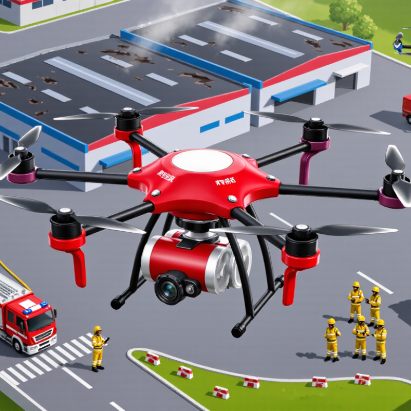
| Thermal Imaging Camera | Detects relative heat patterns and highlights hot spots that may be obscured by smoke or darkness. | Locating trapped people, identifying concealed fire, and checking residual heat during overhaul. | Readings depend on distance, emissivity, weather, smoke density, and the camera’s thermal resolution. |
| Visible-Light Imaging | High-definition optical video provides real-time visual information from an elevated viewpoint. | Incident assessment, perimeter monitoring, route planning, and documentation of changing fire conditions. | Image quality can be reduced by smoke, glare, darkness, rain, and airborne debris. |
| Live Video Transmission | Sends aerial imagery and sensor data to an incident command post or emergency operations center. | Supports faster situational awareness, crew coordination, and hazard-zone updates. | Effective range and reliability vary with terrain, interference, network coverage, antenna configuration, and regulations. |
| Navigation and Positioning | Satellite navigation, inertial sensors, obstacle sensing, and automated return-to-home functions are commonly used. | Maintains flight awareness around buildings, infrastructure, vegetation, and other obstacles. | Satellite positioning may be degraded near tall structures, indoors, under heavy obstruction, or during signal interference. |
| Flight Endurance | Multirotor systems commonly provide approximately 20–45 minutes of flight time per battery under favorable conditions; tethered systems can remain airborne much longer while connected to ground power. | Short-duration reconnaissance, continuous overwatch, and extended monitoring of large or high-risk incidents. | Payload weight, wind, temperature, flight speed, battery age, and reserve requirements significantly affect endurance. |
| Payload Capacity | Payloads may include thermal cameras, optical zoom cameras, spotlights, loudspeakers, gas sensors, or delivery mechanisms; capacity varies by airframe. | Combines multiple sensing functions and can support communication or limited delivery tasks. | Every additional payload affects balance, power consumption, endurance, and safe takeoff weight. |
| Gas and Environmental Sensors | Optional sensors can be configured to monitor selected gases, temperature, humidity, particulate matter, or other environmental indicators. | Hazardous-material assessment, smoke-plume monitoring, industrial incident surveys, and responder safety support. | Sensor selection, calibration, cross-sensitivity, sampling height, and local atmospheric conditions affect data quality. |
| Search-and-Rescue Support | Aerial imaging can cover areas that are difficult, dangerous, or slow for ground teams to inspect. | Finding people in wildfires, collapsed structures, flood-affected zones, and nighttime incidents. | Thermal imagery is an aid rather than proof of a person’s presence and requires confirmation by trained responders. |
| Water, Foam, or Extinguishing-Agent Delivery | Specialized heavy-lift or tethered platforms may carry limited firefighting agents, while many inspection drones are not designed for suppression. | Targeted support for small or inaccessible ignition points and operations near hazardous structures. | Payload volume, discharge rate, wind, heat exposure, flight stability, and aviation restrictions must be verified before deployment. |
| Tethered Operation | A ground station supplies continuous power and may provide a secured data link through a tether. | Long-duration observation over command posts, industrial facilities, ports, tunnels, or large incident zones. | Requires suitable ground space, cable management, trained operators, and careful assessment of wind and nearby obstacles. |
| Industrial and Urban Fire Response | Aerial data can reveal roof conditions, flame spread, access routes, structural hazards, and changes in the incident perimeter. | Warehouse fires, high-rise incidents, chemical facilities, power infrastructure, construction sites, and dense urban areas. | Drones should complement—not replace—消防 command procedures, building assessments, and ground-based firefighting teams. |
| Procurement and Supplier Evaluation | Key criteria include payload compatibility, endurance, weather resistance, data security, spare-parts availability, training, maintenance, and service response. | Improves operational continuity and ensures that equipment matches the fire department’s mission profile. | Request documented test results, user training plans, warranty terms, software support policies, and compliance documentation. |
| Regulatory and Safety Compliance | Operations may require pilot qualifications, aircraft registration, airspace authorization, risk assessment, privacy controls, and coordination with local authorities. | Reduces collision, interference, privacy, and airspace risks during emergency response. | Requirements differ by jurisdiction and mission; emergency use does not automatically remove aviation or safety obligations. |